Monday, October 25, 2010

Michigan: Mount Arvon

Being that I live in Michigan it's amusing that the Michigan highpoint is actually pretty hard to reach from Ann Arbor, it requires quite a drive, from the lower peninsula to the upper peninsula passing the Mackinac Bridge on the way. Colors along the way made the drive very beautiful and nice though:

 Mackinac Bridge from which the blessed land of Canada is not much more than a stone throw away ;-)


Getting to Mt Arvon was very straight forward when following the instructions in my guidebook ("Highpointing of the United States" - Dan Holmes), however I once again relied on my gps entering the exact point of the HP and hoping it would select the best nearest road. That turned out to be some old logging roads and after having bottomed out the Prius in a warning way a couple of times we turned around and retried along another route after having lost about 2h.

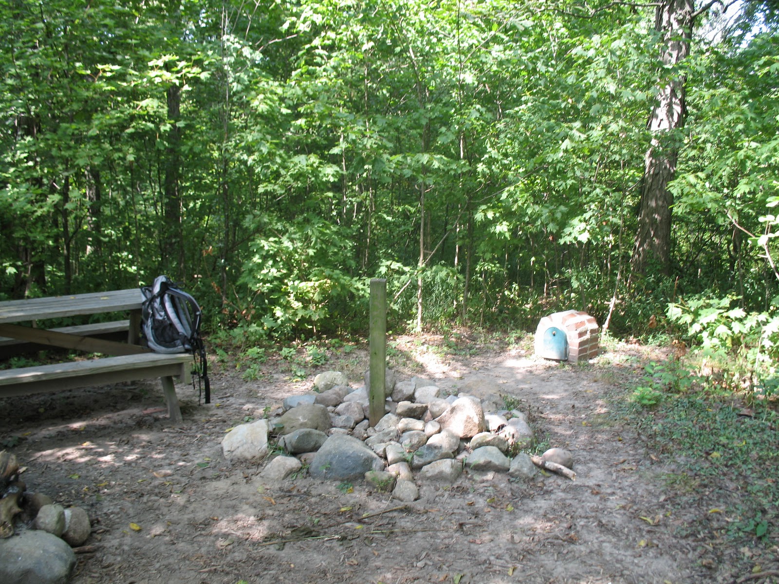
After the gps issues though we parked and did the short hike to the highpoint, a clearing in the woods had been made so one could get a very nice view of Lake Superior. Weather was also amazing, there had been snow fallign more than a week earlier, but this weekend the sun was shining and about 70 degrees (20+ C).


 A USGS benchmark could be found on the top:


Stats:
State: Michigan
High point: 
Elevation: 1979 ft (603 m)
Date: 10th October, 2010
Total elevation to date: 40124 ft (12230 m)
Access: Drive-up, short hike
Difficulty rating (of 10): 2
Potential Difficulties: Getting lost

(CO-NB-) Kansas: Mount Sunflower

The highpoint of Kansas is similarly to Nebraska nu much of a mountain, but rather jsut the highest point in a relatively flat state.
I knew that the approach would consist largely of countryside unpaved roads, so when the GPS led me to smaller and smaller roads I was not too deterred at first, once I started seeing that the gps indicated roads to the sides which was clearly nothing going out in cornfields etc, and I also got close to getting stuck with m Chrysler Town and Country) in some mud on a very small road, I decided to start looking at google maps and satellite views when finding my own more suitable way. The car of choice deserves a special mention, I had booked an economy car since I would drive myself want wanted decent gas mileage, however when I arrived at he renter location on Denver airport, they had no economy cars, neither did they have any intermediate, compact, fullsize etc etc, the smallest thing they had was a mini-van... and thus I was driving around on dirt roads in a minivan...


Eventually I made it to the HP being called Mt. Sunflower just as the sun was setting. The very nice landowner drove up in his pickup and offer to shed some light on the highpoint and take pictures if I wanted, My grateful thanks goes out to any persons and landowners being as open and friendly as that!


Stats:
State: Kansas
High point: Mount Sunflower
Elevation: 4039 ft (1231 m)
Date: 26 September, 2010
Total elevation to date: 38145 ft (11627 m)
Access: Drive up
Difficulty rating (of 10): 3
Potential Difficulties: GPS-trouble, very many unpaved roads of varying accessibility.

(CO-) Nebraska: Panorama point (-KS)

Panorama point in Nebraska was visited the day after Colorado. weather turned form the 40s to high 90s in a heartbeat.
After having had some issues with the gps earlier I tried to confirm that is chose a route listed in my guidebook, it would lead to a open plains area where a cross country hike to the high point was the last "minor" obstacle. I parked near a traditional windmill and local drinking whole for a herd of cows.


A short walk from there one could actually pass a tristate marker, between the states of Colorado, Nebraska and Wyoming:


The short hike was not like the guide book listed though, it was now crossed by a high number of fences, both electric and normal barbed ones, not only that but getting close to Panorama point I practically stumbled on a Huge Buffalo!


After sliding under some fences and walking through locust swarms and enjoying some dust devils I arrived at the highpoint:


Once there I got the slightly belated warning regarding the Buffalo...

I took a jog back to the car to test the legs after Mt. Elbert. That turned out to be quite painful when running through Locust swarms, those buggers hurt when they fly into you en masse.
Otherwise a beautiful day weather-wise and the first of 2 highpoints visited that day.


Stats:
State: Nebraska
High point: Panorama point
Elevation: 5424 ft (1653. m)
Date: 26 September, 2010
Total elevation to date: 34106 ft (10396 m)
Access: Cross-country hike
Difficulty rating (of 10): 3
Potential Difficulties: Fences, Locust swarms, Buffalos!

Colorado: Mount Elbert (-NE-KS)

Shortly after getting the news of The Sigvard Eklund Prize I wanted to go somewhere fun and preferable combine it with some highpointing. The highest point I had ever been to before was Mt Fuji, Japan. So I was looking a bit extra at those peaks that are above 4000M since that would then be clearly higher than what I had visited previously. Colorado's Mount Elbert offers a nice altitude, convenient location from a bigger town (Denver) and within driving distance one can visit some other states high points so the trip ended up being Colorado, Nebraska and Kansas, with some driving through Wyoming on the way.

I drove to Leadville (after some silly address mistake in the GPS) where I found the motel I had booked for the night, Leadville is also known as the 2mile high ciy, and the highest city in US, sleeping there a few short hours after going to bed at 3am turned out to bu quite straining from the change in altitude, but I woke up starving and with a desire to see some gorgeous nature and the weather was looking promising. I had chosen to take the Black Cloud trail which is quite less frequented compared to the Colorado train and the south or north Mt. Elbert trail. The vistas was early magnificent, after a star spangled night with temperatures below the freezing point. Below is a view of La Plata Peak to the south.

The trail was well maintained and kept in forested areas for quite a while due to a very high tree line. It later started doing some switchbacks and became more and more rocky, however it never really deviated form the Class 1 rating it had been given in the guidebook I was reading.


 The sheer altitude, elevation gain and distance meant that it took quite some time to reach the top, while also getting more and more short of breath. The sun kept shining though, and was amazingly good. The rail went over the south Mt. Elbert peak which is over 14000 feet, thus I imagined that once I had reached that it would be a very simple last part, that turned out to be not quite correct since the saddle between the 2 peaks went down quite a bit. With the main peak in sight and nice white snow that was lying around in scattered patterns from a snowfall earlier in the autumn, it was easy to find the needed motivation to go the last bit.


Once on the top views were fantastic, although getting more and more symptoms of Acute mountain sickness (AMS) I only took a minor rest on the peak, and then turned back since I had to re-climb up to South Elbert peak before doing the main decent. But a bunch of celebratory shorts on the top was naturally taken:

 One thing That make me really grateful for the time of year I had chosen to climb was the magnificent autumn aspen colors. The hills were lit up by bright yellow patches of aspen trees.


The height do demand some acclimatization and spending a few days in Colorado will surely help, gaining 13 600 feet in less than 20h is on the low side and required a quick decent to make sure that loss of hunger headache and nausea don't become more severe problems, if they do present themselves and get worse, do keep in mind that the prudent thing to do is to decent to lower safe altitudes to reverse the high altitude sickness!

Stats:
State: Colorado
High point: Mount Elbert
Elevation: 14440 ft (4401 m)
Date: 25 September, 2010
Total elevation to date: 28682 ft (8742 m)
Access: Trail (11.0 miles, 5300feet elevation diff. about 7h)
Difficulty rating (of 10): 7
Potential Difficulties: AMS (acute mountain sickness) when lacking sufficient acclimatization.

Sunday, October 24, 2010

(PA-MD-) West Virginia: Spruce Knob

The last highpoint on the trip and also third on the same day was West Virginia: Spruce Knob.
West Virginia have some gorgeous exposed cliffs that are popular among technical climbers and one can find a number of small villages which now serve as climbing meccas especially during the sumer.

The high point itself don't force any technical climbing though, in fact it only require a small hike unless one wants to take a slightly longer hike which risks passing through some privately owned land on the way to Spruce Knob. The drive up on the actual mountain isn't too special, although offering some pretty sights along the way. There is many nice roads in the area offering varied landscape and twisty roads.


I ended up watching the sunset from the top of the lookout tower and was blessed with some beautiful (but chilly) weather and vistas that I'll remember for a long while.


It's a slightly more windswept area compared to Maryland and Pennsylvania, which is apparent also from the added altitude. The vegetation on the top of the mountain is therefore mostly dwarfed spruce and other small brush reminding of nature often found further north (Canada, Scandinavia etc).

Stats:
State: West Virginia
High point: Spruce Knob
Elevation: 4863 ft (1482 m)
Date: , 2010
Total elevation to date: 14242 ft (4341 m)
Access: Drive-up, small hike
Difficulty rating (of 10): 1
Potential Difficulties: None?

(PA-) Maryland: Backbone Mountain - Hoye-Crest (-WV)

The Maryland highpoint is located conveniently withing a couple of hours from the Pennsylvania HP. This was the first one for me which was accessible by car (finally!). It's part of a mountain ridge that actually have higher points than the Maryland Highpoint, but those are located on the other side of a state border. So to get to the high point the trail actually starts in one state and then you pass by foot into another state, along the way one can also visit a state line marker:

The mountain ridge is quite densely forested, but a clearing have been made in the Maryland direction allowing some decent views close to the marker plaque showing the marker at the Hoye-Crest on the backbone mountain.


Among the more curious things on the route towards the highpoint I can mention that I had to drive through Accident, PA. How anyone could name a town that is beyond me, but it did allow for some amusing signs throughout the town: "General store in Accident", "Auto repairs, Accident" etc.

Stats:
State: Maryland:
High point: Backbone Mountain
Elevation: 3360 ft (1024 m)
Date: 6th September, 2010
Total elevation to date: 9379 ft (2859 m)
Access: Trail (2.2 miles - about 1h)
Difficulty rating (of 10): 3
Potential Difficulties: missing the trail head, trail intersections.

Pennsylvania: Mount Davis (-MD-WV)

The second Highpointing road trip went eastbound towards Pennsylvania, Maryland & West Virginia.
Pennsylvania was the first state showing a bit of hilliness, and some very beautiful forested rolling hills with many beautiful bridges scattered throughout the state (especially around Pittsburgh).

The highpoint Mount Davis is actually carrying a name indicating that it stand sup a bit compared to the surroundings, the road towards it passes some nice rural landscapes and passing Amish horse carriages along the way is to be expected. The highpoint have a lookout tower from which one can see some of the many windmills that have now been scattered throughout the hills in Pennsylvania, marking a change form steel mills and heavy industry to new energy and economics.


There is a USGS (United States Geological Survey) Benchmark - Essentially a large spike with imprinted information on the head - which is attached to the highest boulder on the highpoint, seen to the right in the picture below:

Stats:
State: Pennsylvania
High point: Mount Davis
Elevation: 3213 ft (979 m)
Date: 6th September, 2010
Total elevation to date: 6019 ft (1835 m)
Access: Drive-up, stroll
Difficulty rating (of 10): 2
Potential Difficulties: None?

Friday, October 22, 2010

(OH-) Indiana - Hoosier Hill

Indiana's highpoint Hoosier Hill is actually overrated to even be called hill in the context of a high point. In a very flat state with slowly varying contour lines it's far from obvious which point might actually be the highest in the state.


Finding it is fairly straightforward due to helpful roadsigns, and the fact that the place is only a few steps away from a minor county road. However the last sign was down, and I had to pass twice to realize the small inconspicuous turnout was the right place. 


I would like to rate the difficulty of this highpoint as a record low 1/10, but the lack of the last sign and the fact that there was some sort of odd "fruit" falling from the trees nearby, and had one of those hit a person on the noggin I think it would be close to a coconut incident:
No incidents though and the second highpoint of that day was cleared...

Stats:
State: Indiana
High point: Hoosier Hill
Elevation: 1257 ft (383 m)
Date: 15th August, 2010
Total elevation to date: 2806 ft (855 m)
Access: Drive-up
Difficulty rating (of 10): 2
Potential Difficulties: Final sign down!

Ohio - Campbell Hill (-IN)

The first highpoint visited was looking like the most easily accessible of all being that I'm based in Ann Arbor, MI.
However, one needs to consider that it's the top of a pretty minor hill, but amusingly located at an earlier NORAD base (North American aerospace defense command), and now commonly still behind closed gates when the currently located school/career center is not open. This meant that access was not exactly guaranteed.
They offer open hours especially on Saturdays, however arriving on a Sunday I was not there on one of those times.
Further complications involved the GPS wanting to direct me to a road on the backside of the site, since the roads within the site was not loaded in the gps, and thus it lead me to another point it felt was closest to the exact coordinates entered (memo to self: enter road address when possible in a car gps!)

Far from giving up though I noted that one of the fenced gates was actually not closed and there was a grounds keeper working the area on his 4-wheeler. He was kind enough to allow me to reach the elusive high point, provided I'd be out before he would leave.

Agreeing to that deal I could enter the area and after a short walk I arrived at the highpoint. with a day of mixed showers at least it was not raining most of the times I was outside of the car.

That was the first highpoint for me and as it turned out the highest of two high points visited on that day, 15th of August, 2009.

Stats:
State: Ohio
High point: Campbell Hill
Elevation: 1549 ft (472 m)
Date: 15th August, 2010
Total elevation to date: 1549 ft (472 m)
Access: Drive-up
Difficulty rating (of 10): 3
Potential Difficulties: Closed down ex-military site. GPS not having roads in closed area.