Friday, March 23, 2012

Hawai'i: Mauna Kea

Mauna Kea is the highpoint of Hawai'i and also the 'tallest' mountain in the world rising over 33000 continous ft (~11 000m) above the seabed. The picture taken below is taken close to the coast, so one can see how significantly the mountain rises with no other mountain range around.


BEfore going up the mountian we started at the suitable names Maune Kea Resort (owned by a mr Rockefeller...). Not much to complain bout there, slightly windy, but nice snorkeling and coral reefs as well as perfect white beach sand.


The road up to mauna Kea rises quickly along the sabble road on which you start driving into the clouds. once you turn off towards the Mauna Kea observatories the clouds might lighten up. A mandatory stop and half hour acklimatization at 9 200 ft (~2750 m) helps but only ever so slightly.
Once you reach the top one can see about 10 nice and unique telescopes which offers some of the best observation conditions in the world. and from the picture one can see how we now all off a sudden is practically completely above the clouds.


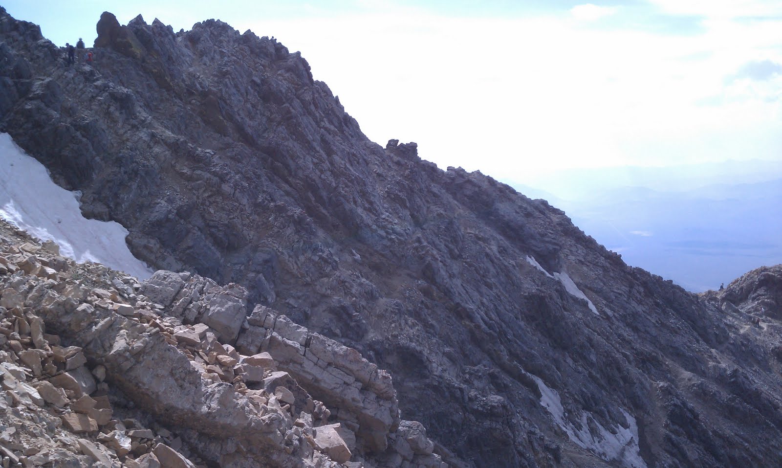
The summit is at the end of a short hiking trail which only takes a few minutes, the minor rise doeshowever quickly take your breath away with the views and thin air combined.


 A USGS markes shows te top and elevation, somewhich which is quite uncertain when being on such extremely young land.


The top also contains a small ceremonial spot where Leis, Fruit and other things have been offered and left.


 The main hotspot activity have since moved further south though and create the mountain Mauna Loa. It is less than 100 ft lower than Mauna Kea, and even from the top is hard to distinguish which is highest.


If you are in to snow sports (or in this case snow-juggling) Mauna Kea offers ne of only 2 spots on hawai'i where you can practice your skills, in January and February there is even some mild ability to do skiing, but you have to make your way up the slope by own power each run...


Stats:
State: Hawai'i
High point: Mauna Kea
Elevation: 13796 ft (4205.0 m)
Date: March 22, 2011
Total elevation to date: 179067 ft (54580 m)
Access: drive-up, hike
Difficulty rating (of 10): 2
Potential Difficulties: acute mountain sickness, inclement weather

Wednesday, March 21, 2012

Southern most point of USA

A minor goegrafic puculiarity is the true south point of USA. We (me and Tricia) had previous visited the southernmost point in continental USA, so when the chance presented itself to visit the southermost point in all of USA we could not say no...
South point on Big Island (Hawai'i) is perched on cliffs extending towards the south of the vast pacific...


It is a windswept area at which a current as well as a ruin of an old wind farm can be found. The wrecks of the old farm from 2007 is a scary sight of "clean energy". but the much more powerful new wind power plants are a welcome addition to a hard energy equation at a remote location such as Hawai'i. And remote is true it is the most remote location to any continent in the world in fact...


The south point itself is located along cliffs which one can jump from (40 ft high) into pristine turquoise waters.


It's quite doubtful I would do both the continental and overall NORTHERN points of USA, but the 2 southern points of US was surely a pleasure to visit...

Elevation: 40 ft (12 m)
Date: March 20, 2012
Difficulty rating (of 10): 1
Potential Difficulties: GPS-directions, bad navigation.

Sunday, December 4, 2011

(MS-LA-AR-) Missouri:Taum Sauk


The last stop on our trip was Missouri's Taum Sauk.


The trail is actually very short along a very nicely prepared path, and this is one of few highpoints that specifically brags about it's wheel chair accessibility.


The area is not much more than an hour from St Louis and even closer to the Mississippi river. The highpoint has a plaque on the ground and a boulder marking the spot which I made sure to climb for the feeling that at least a minor effort was exerted during the peak bagging...


Stats:
State: Missouri
High point: Taum Sauk
Elevation: 1 772 ft (540 m)
Date: November 27, 2011
Total elevation to date: 177 933 ft (54 234 m)
Access: Drive-up, short walk, handicap access
Difficulty rating (of 10): 1
Potential Difficulties: Essentially none, except that the look-out tower is not located at the high point but rather a couple of miles away.

(MS-LA-) Arkansas: Mt Magazine (-MO)

Arkansas' Magazine Mountain proved to be the highest and most "mountainy" on this trip. SO much that the weather changed severely when going towards the top with the car, extremely dense fog with barely 30ft (10 m) visibility quickly surrounded us and made way-finding very hard. It did slow us to a crawl in the car though so the chance of accidents was pretty much reduced.

The new state park lodge proved to be a blessing as we decided to stop there for lodging for the night and then hike in the morning instead.


The next morning revealed great views from our room, and the breakfast room seen above was gorgeous. The mosquito net on the windows makes the view look less impressive in the photo below however.


The hike was fairly short and we had no rain although temperatures were fairly low around the freezing point.


There was a limited view from the top of the mountain due to trees, but one could see the valleys below as well as a another peak which looked surprisingly close in elevation.


Stats:
State: Arkansas
High point: Mt Magazine
Elevation: 2 753 ft (839 m)
Date: November 27, 2011
Total elevation to date: 176 161  ft (53 694 m)
Access: hike, class 1
Difficulty rating (of 10): 2
Potential Difficulties: Finding the trail-head (fog!).

(MS-) Louisiana: Driskill Mountain (-AR-MO)

Louisiana's Driskill Mountain was located in the remote areas of the state where churches seem more common than people. Also houses not in the trailer home format are rare and far between...


The weather was not very cooperative, although we did have less heavy rain than what we drove through just half an hour before our hike. The problem though was the soil which consisted of very red clay like material which got very muddy and slippery (and discoloring) when walking in it.


Markus made sure to sign the ledger now that he had successfully doubles his highpoint count in USA (While protecting his backpack full of electronics under his jacket).

Stats:
State: Louisiana
High point: Driskill Mountain
Elevation: 535 ft (163 m)
Date: November 26, 2011
Total elevation to date: 173 408  ft (52 855 m)
Access: Hike, class 1
Difficulty rating (of 10): 1
Potential Difficulties: foul weather...

Missisippi: Woodall Mountain (-LA-AR-MO)

Missisippi's Woodall Mountain was the first stop on a 4-state highpointing spree during the Thanksgiving weekend. The trip also included a visit to Mammoth caves and 2400 miles on the prius odometer together with friend Markus.


Not too much excitement at the top (I was nevertheless very happy when reaching the top after a strenuous 3 ft - 0.9 m - vertical climb...), but it was surprisingly prominent considering the low elevation and the size of the state of Mississippi. Also it is very nicely located for driving hundreds of miles along the very nice Natchez Trace parkway which follows an old native amarican route. The highpoint itself is fairly well marked with signs, but the gps was reluctant to follow that route which cause some minor delays...


Stats:
State: Mississippi
High point: Woodall Mountain
Elevation: 806 ft (245.7 m)
Date: November 25, 2011
Total elevation to date: 172 873 ft (52 692 m)
Access: Drive-up
Difficulty rating (of 10): 2
Potential Difficulties: GPS finding non-existent roads...

Saturday, September 10, 2011

Idaho - Mount Borah

Borah Peak fell today on the list (on the second attempt if counting a lost try last year even before I knew about highpointing).

Rising up about 5300ft in just a bit over 3 miles it is one of, if not the, steepest highpoint hikes. It nevertheless starts like a forest path. Actually you fist climb a little to get INTO the forest zone, the valley is quite dry and won't allow larger vegetation than bushes. Then you stay in the tree zone for a few thousand feet (700m) before you exist the tree zone again in the alpine zone.


The picture above shows the start of the tree zone. Below you see the gravel road leading toa small campsite at the trailhead.


The trail leading up towards the chicken out ridge show some beautiful views as long as the weather is cooperation. Actually if the weather takes a turn for the worse then getting of the trail which is on very exposed peaks and ridges is a sound idea. Below you can see the chicken out ridge starting behind the peak in the foreground on right, and leading up to the snow bridge, which at the time of passing was actually melted on the top, so one didn't need crampons.


On the picture below the peak is seen to the left (the seemingly lower peak).


From above the trail selection to and away from chicken out ridge (from 11 300 ft to 11 600 ft) and most of the ridge itself is kind of obvious, from below however it was harder to see, and I ended up taking less traveled paths a couple of times, nothing that presented any major problems (class 3), but the longer stretches made the arms somewhat tired, and I had stated getting quite affected by the altitude at this time, having flown in from Michigan late the previous night. The picture below taken with my phone on the way down shows some people here and there on the different possible paths. Seeing other people is actually a very nice help for deciding path if you are uncertain or lack a guide book.


The nature surrounding the peak is mostly made up of other jagged peaks, but there were a few pretty glacial lakes and pretty valleys.


It is one mean mountain, and a effort larger than expected, but very happy to have it ticked off on the list!


Stats:
State: Idaho
High point: Borah Peak
Elevation: 12 662  ft (3 859.4 m)
Date: September 10, 2011
Total elevation to date: 172 067  ft (52 446 m)
Access: Hike, class 3, 7.5h round trip
Difficulty rating (of 10): 8
Potential Difficulties: Altitude acclimatization, inclement weather, path selection on chicken out ridge.